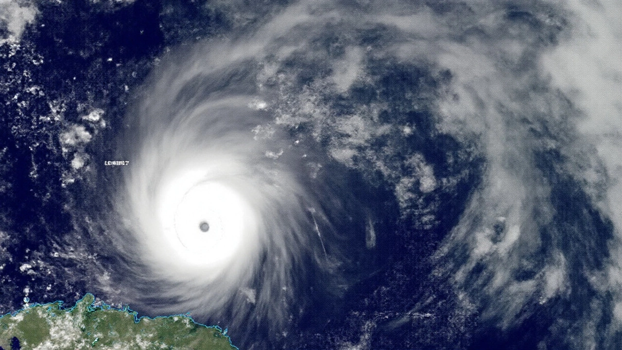
Hurricane Erin Looms as Met Office Warns of Shifting UK Weather
Britain’s seemingly endless dry spell might finally be facing its match. Hurricane Erin, brewing up power across the Atlantic, has caught the attention of Met Office forecasters as it edges closer to UK shores. While Erin is set to lose its tropical punch as it moves north past eastern Canada, its lingering energy could still stir up big changes in the UK weather over the next week.
So, what’s the deal with Erin? Well, forecasting this particular storm isn’t straightforward. Alex Burkill from the Met Office admits Erin is throwing a wrench in the works, making next week’s weather increasingly unpredictable. The models that meteorologists rely on—the big American and European ones—just don’t agree this time. One path suggests Erin spins into a deep area of low pressure, spelling wind and rain for Britain, the kind that drives people to dig out their raincoats in August. Another model shows a stubborn bubble of high pressure sticking around, keeping things warm and settled, much like what most of the UK has seen all summer.
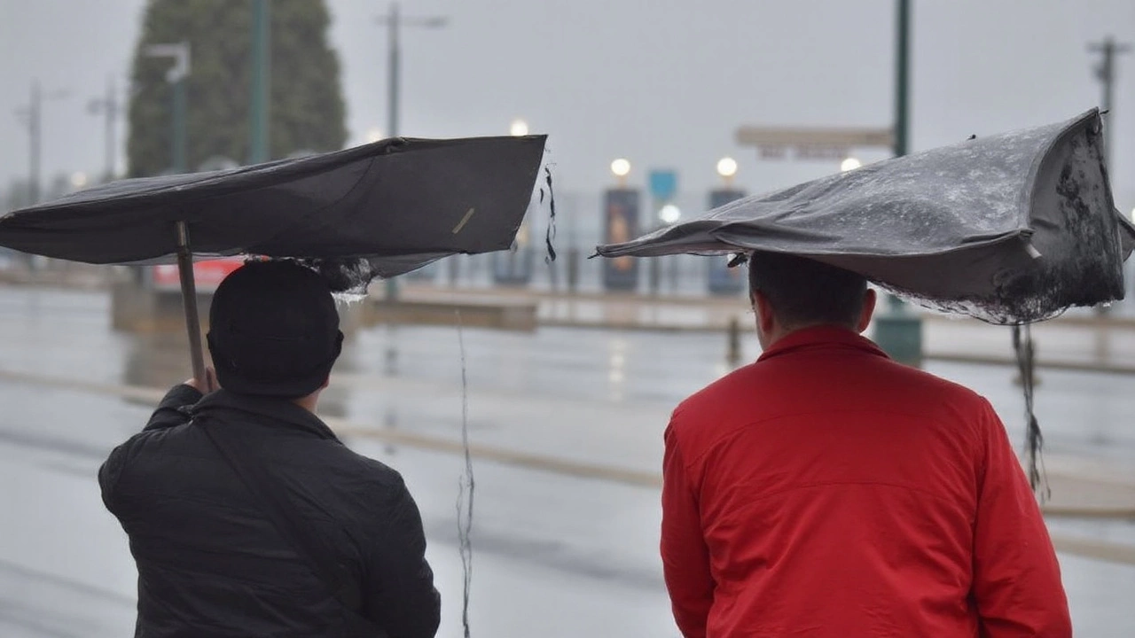
Right now, the high pressure system is holding strong and promising fine weather through the upcoming bank holiday. But don’t get too comfortable. Scientists expect Erin’s influence to creep in from the west soon after, weakening the high pressure and setting the stage for a flip to wet and possibly gusty weather.
Here’s where it gets tricky: Erin’s exact impact will hinge on how it interacts with the jet stream. The jet stream acts like a high-speed conveyor belt for storms, sometimes steering them towards the UK, other times sending them harmlessly into the North Atlantic. Until the storm gets closer, forecasts will likely stay a bit fuzzy, so Brits will need to keep an eye on updated Met Office warnings and weather reports as next week draws nearer.
Still Sizzling: UK’s Hot Summer Breaks Records
All of this is happening on top of an already extraordinary summer. According to preliminary stats from the Met Office, summer 2025 is shaping up to possibly shatter all previous temperature records in the country. Weather scientist Emily Carlisle points out that June and July weren’t just hot by UK standards—they were consistently well above average, even when the heatwave warnings weren’t activated. Stepping outside has felt a lot like continental Europe, which is also sweating through similar scorching months.
Even as Erin gets closer, forecasters don’t expect the UK to slip back into anything close to chilly. Temperatures should stay above seasonal norms, thanks to the baked-in heat of the recent months. The biggest wildcards now are rainfall, clouds, and wind: will Erin bring those sharp downpours and gusts that make you think twice about planning a picnic, or will warm, calm conditions win out one more time?
The Met Office isn’t taking chances, running multiple forecast models every day to keep up with Erin’s twists and turns. The only thing that seems certain is continued uncertainty—at least for now. So, if you’re wondering whether to grab sunscreen or an umbrella next week, you’re not alone. Britain’s weather, as ever, is keeping everyone guessing.